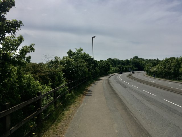
Ultra-Broad brief curve of Upper Halliford Road
Introduction
The photograph on this page of Ultra-Broad brief curve of Upper Halliford Road by Ad-lad as part of the Geograph project.
The Geograph project started in 2005 with the aim of publishing, organising and preserving representative images for every square kilometre of Great Britain, Ireland and the Isle of Man.
There are currently over 7.5m images from over 14,400 individuals and you can help contribute to the project by visiting https://www.geograph.org.uk

Image: © Ad-lad Taken: 8 May 2020
This bizarrely brief (overall) dual carriageway section is relatively long compared to the minor junction (Nursery Road) it allegedly might help and from an era when large motor vehicles lacked anything like normal acceleration especially up the slope. Ripe for a retrenchment like the plans for a dualled Walton Bridge on the same road, it is unlikely the councils will agree funds and maintenance to restore trees that dominated the site. But some re-greening is currently the zeitgeist in national news and comparable boroughs (Waltham Forest) so Spelthorne may see what used to be which locally is clearly beautiful. It also pre-dates the motorway.

