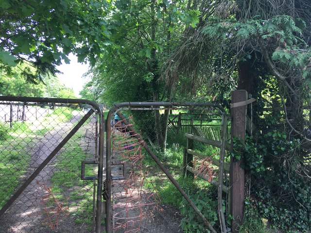
Dead-end track fringe to smallholding
Introduction
The photograph on this page of Dead-end track fringe to smallholding by Ad-lad as part of the Geograph project.
The Geograph project started in 2005 with the aim of publishing, organising and preserving representative images for every square kilometre of Great Britain, Ireland and the Isle of Man.
There are currently over 7.5m images from over 14,400 individuals and you can help contribute to the project by visiting https://www.geograph.org.uk

Image: © Ad-lad Taken: 8 May 2020
Gated track. Split from its serviant field by a low wire horse-intended fence. Apparently in the common (alike) ownership of the smallholder. Certainly makes the field easy to access but not used for even grass growing in any substantive way. Nonetheless significant praise for its small invertebrates (from its natural, seasonally wet surface) which support locally rare field rodents and moreover birds as well as providing some carbon offsetting, large-tree-root hydration and basin run-off delay.

