Halliford Park
Introduction
The photograph on this page of Halliford Park by Ad-lad as part of the Geograph project.
The Geograph project started in 2005 with the aim of publishing, organising and preserving representative images for every square kilometre of Great Britain, Ireland and the Isle of Man.

There are currently over 7.5m images from over 14,400 individuals and you can help contribute to the project by visiting https://www.geograph.org.uk
Halliford Park
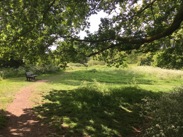
Image: © Ad-lad Taken: 8 May 2020
Public park. Once to a very old house, turned over into nature again. The park has had some concrete brick rubble or other “hard core” deposited deep beneath some parts leading to its greater than natural undulations, which also adds to its already rather well-draining soil, meaning paths and grass has not been known to have been flooded.
Images are licensed for reuse under creativecommons.org/licenses/by-sa/2.0
Image Location
Latitude
51.40691
Longitude
-0.431246