Totnes Times
Introduction
The photograph on this page of Totnes Times by Derek Harper as part of the Geograph project.
The Geograph project started in 2005 with the aim of publishing, organising and preserving representative images for every square kilometre of Great Britain, Ireland and the Isle of Man.

There are currently over 7.5m images from over 14,400 individuals and you can help contribute to the project by visiting https://www.geograph.org.uk
Totnes Times
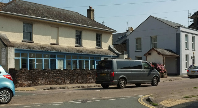
Image: © Derek Harper Taken: 2 Aug 2019
A rather poorly-composed picture looking across St Katherine's Way to Tindle House on the left, the home of the Totnes Times, and listed https://historicengland.org.uk/listing/the-list/list-entry/1236981 .
Images are licensed for reuse under creativecommons.org/licenses/by-sa/2.0
Image Location
Latitude
50.429548
Longitude
-3.683821