West Howe: Elmhurst Road
Introduction
The photograph on this page of West Howe: Elmhurst Road by Chris Downer as part of the Geograph project.
The Geograph project started in 2005 with the aim of publishing, organising and preserving representative images for every square kilometre of Great Britain, Ireland and the Isle of Man.

There are currently over 7.5m images from over 14,400 individuals and you can help contribute to the project by visiting https://www.geograph.org.uk
West Howe: Elmhurst Road
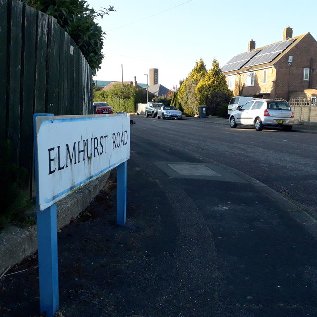
Image: © Chris Downer Taken: 16 Apr 2020
Looking along this short road on the northern fringe of the large 1950s West Howe housing estate. The houses are typical council semis and in recent years energy has been garnered from the installation of photovoltaic cells on their roofs. The sign is of a design that became prevalent in Bournemouth around 1990 and was in use for most of that decade. Many are starting to look a bit shabby now, and the blue border is faded on this one. This is photo no.129 of a series of 453 in my coronavirus lockdown walking project: See https://www.geograph.org.uk/article/My-2020-Coronavirus-Lockdown-walking-project for the complete set of photos.
Images are licensed for reuse under creativecommons.org/licenses/by-sa/2.0
Image Location
Latitude
50.765625
Longitude
-1.910759