Storm clouds over Plumstead
Introduction
The photograph on this page of Storm clouds over Plumstead by Marathon as part of the Geograph project.
The Geograph project started in 2005 with the aim of publishing, organising and preserving representative images for every square kilometre of Great Britain, Ireland and the Isle of Man.

There are currently over 7.5m images from over 14,400 individuals and you can help contribute to the project by visiting https://www.geograph.org.uk
Storm clouds over Plumstead
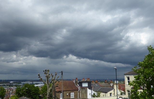
Image: © Marathon Taken: 1 May 2020
This was a day of heavy showers and some bright sunshine. Despite appearances, there was no rain locally for much of the rest of the day although I would imagine it was fairly wet over north-east London which was the direction this photograph was taken. This was from the top of Viewland Road on Plumstead Common. The Barking Creek Barrier is on the far left of the picture.
Images are licensed for reuse under creativecommons.org/licenses/by-sa/2.0
Image Location
Latitude
51.483935
Longitude
0.09508