Trees at the western boundary of Newton Burrows
Introduction
The photograph on this page of Trees at the western boundary of Newton Burrows by eswales as part of the Geograph project.
The Geograph project started in 2005 with the aim of publishing, organising and preserving representative images for every square kilometre of Great Britain, Ireland and the Isle of Man.

There are currently over 7.5m images from over 14,400 individuals and you can help contribute to the project by visiting https://www.geograph.org.uk
Trees at the western boundary of Newton Burrows
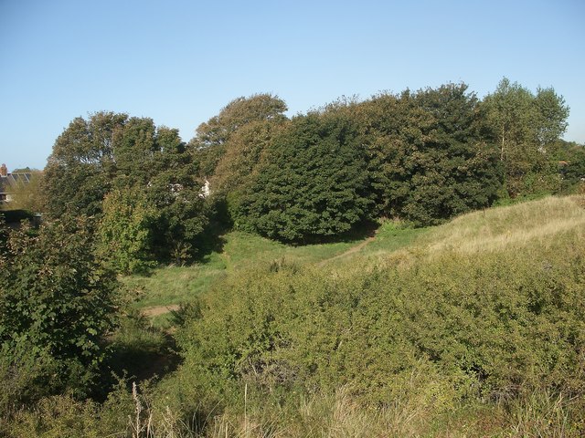
Image: © eswales Taken: 25 Sep 2015
The western end of an area of duneland which extends over Newton Burrows and Merthyr Mawr Warren to the Ogmore River.
Images are licensed for reuse under creativecommons.org/licenses/by-sa/2.0
Image Location
Latitude
51.481683
Longitude
-3.675374