Old Boundary Marker on Thorington Street bridge
Introduction
The photograph on this page of Old Boundary Marker on Thorington Street bridge by M Bardell as part of the Geograph project.
The Geograph project started in 2005 with the aim of publishing, organising and preserving representative images for every square kilometre of Great Britain, Ireland and the Isle of Man.

There are currently over 7.5m images from over 14,400 individuals and you can help contribute to the project by visiting https://www.geograph.org.uk
Old Boundary Marker on Thorington Street bridge
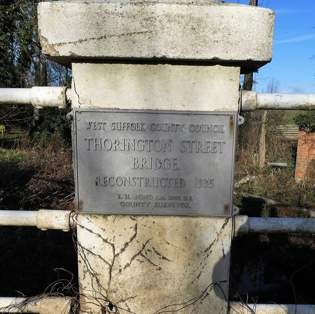
Image: © M Bardell Taken: 9 Jan 2019
Bridge Marker in north balustrade of west pier of Thorington Street Bridge, River Box, on B1086. STOKE BY NAYLAND parish. WEST SUFFOLK COUNTY COUNCIL / THORINGTON STREET / BRIDGE / RECONSTRUCTED 1935 in raised lettering. Milestone Society National ID: SU_STONAY01br
Images are licensed for reuse under creativecommons.org/licenses/by-sa/2.0
Image Location


Leaflet Map data © OpenStreetMap
Latitude
51.981097
Longitude
0.930722