Bear Cross: Duck Lane
Introduction
The photograph on this page of Bear Cross: Duck Lane by Chris Downer as part of the Geograph project.
The Geograph project started in 2005 with the aim of publishing, organising and preserving representative images for every square kilometre of Great Britain, Ireland and the Isle of Man.

There are currently over 7.5m images from over 14,400 individuals and you can help contribute to the project by visiting https://www.geograph.org.uk
Bear Cross: Duck Lane
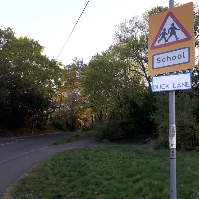
Image: © Chris Downer Taken: 16 Apr 2020
A road around the periphery of the West Howe housing estate that manages to retain a rural feel. It contains a couple of blocks of council flats at the other end, opposite the entrance to Oak Academy, the local secondary school. The road sign is a mini version of the standard one from around 2005, such as at Image, but the top half of the sign is blank, rather than containing the logo. As this sign would face the sun only in the morning, I doubt that it has faded when the rest of the sign is fine! This is photo no.116 of a series of 453 in my coronavirus lockdown walking project: See https://www.geograph.org.uk/article/My-2020-Coronavirus-Lockdown-walking-project for the complete set of photos.
Images are licensed for reuse under creativecommons.org/licenses/by-sa/2.0
Image Location
Latitude
50.764011
Longitude
-1.917852