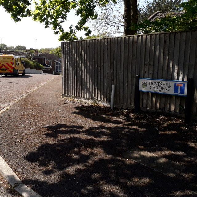
Northbourne: Doveshill Gardens
Introduction
The photograph on this page of Northbourne: Doveshill Gardens by Chris Downer as part of the Geograph project.
The Geograph project started in 2005 with the aim of publishing, organising and preserving representative images for every square kilometre of Great Britain, Ireland and the Isle of Man.
There are currently over 7.5m images from over 14,400 individuals and you can help contribute to the project by visiting https://www.geograph.org.uk

Image: © Chris Downer Taken: 19 Apr 2020
The position of the sign, towards the middle rather than the point of the triangular pavement entrance, leaves us with just a glimpse of the bungalows that are to be found down there. The road sign is a standard one from around 2000-2006, perhaps a little earlier, featuring the borough coat of arms. A no-through-road sign is incorporated into the nameplate, whereas there would originally have been a standalone one on the vacant post to the left (see Image for an example of such arrangement). This is photo no.111 of a series of 453 in my coronavirus lockdown walking project: See https://www.geograph.org.uk/article/My-2020-Coronavirus-Lockdown-walking-project for the complete set of photos.

