Public Footpath near New York
Introduction
The photograph on this page of Public Footpath near New York by Geoff Holland as part of the Geograph project.
The Geograph project started in 2005 with the aim of publishing, organising and preserving representative images for every square kilometre of Great Britain, Ireland and the Isle of Man.

There are currently over 7.5m images from over 14,400 individuals and you can help contribute to the project by visiting https://www.geograph.org.uk
Public Footpath near New York
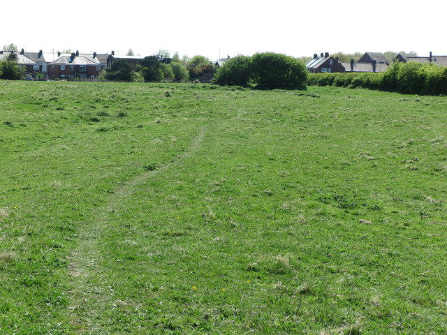
Image: © Geoff Holland Taken: 1 May 2020
This footpath, which was shown on the first Ordnance Survey Six-Inch map of the area, published in 1865, provides a pleasant off-road route from Murton Lane to New York. For a selection of detailed free to download walking routes of the area visit www.northtynesidewalks.co.uk
Images are licensed for reuse under creativecommons.org/licenses/by-sa/2.0
Image Location


Leaflet Map data © OpenStreetMap
Latitude
55.027233
Longitude
-1.487665