Nos. 222 and 224 Main Street at Ferrand Lane junction
Introduction
The photograph on this page of Nos. 222 and 224 Main Street at Ferrand Lane junction by Roger Templeman as part of the Geograph project.
The Geograph project started in 2005 with the aim of publishing, organising and preserving representative images for every square kilometre of Great Britain, Ireland and the Isle of Man.

There are currently over 7.5m images from over 14,400 individuals and you can help contribute to the project by visiting https://www.geograph.org.uk
Nos. 222 and 224 Main Street at Ferrand Lane junction
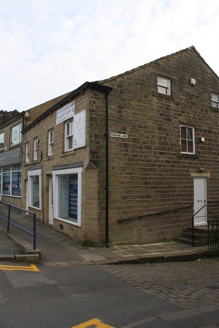
Image: © Roger Templeman Taken: 1 Apr 2019
Ordnance Survey documents indicate that in 1962 a benchmark levelled at 84.606m above Newlyn Datum was verified on the front of the shop. Unable to locate the mark today.
Images are licensed for reuse under creativecommons.org/licenses/by-sa/2.0
Image Location
Latitude
53.849739
Longitude
-1.83975