View From Hackbridge
Introduction
The photograph on this page of View From Hackbridge by Peter Trimming as part of the Geograph project.
The Geograph project started in 2005 with the aim of publishing, organising and preserving representative images for every square kilometre of Great Britain, Ireland and the Isle of Man.

There are currently over 7.5m images from over 14,400 individuals and you can help contribute to the project by visiting https://www.geograph.org.uk
View From Hackbridge
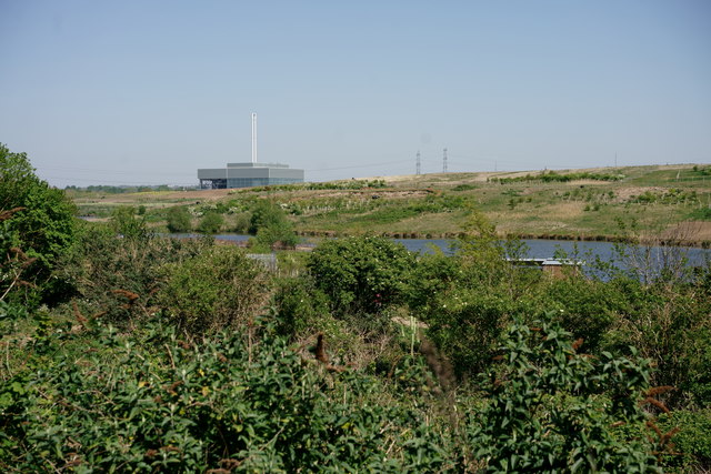
Image: © Peter Trimming Taken: 22 Apr 2020
Looking across Beddington Farmlands, towards the Viridor Beddington Energy Recovery Facility. The ERF has been designed to process around 275,000 tonnes of non-hazardous residual waste a year.
Images are licensed for reuse under creativecommons.org/licenses/by-sa/2.0
Image Location
Latitude
51.376875
Longitude
-0.153517