Woodland footpath down to The Rhiw
Introduction
The photograph on this page of Woodland footpath down to The Rhiw by M J Roscoe as part of the Geograph project.
The Geograph project started in 2005 with the aim of publishing, organising and preserving representative images for every square kilometre of Great Britain, Ireland and the Isle of Man.

There are currently over 7.5m images from over 14,400 individuals and you can help contribute to the project by visiting https://www.geograph.org.uk
Woodland footpath down to The Rhiw
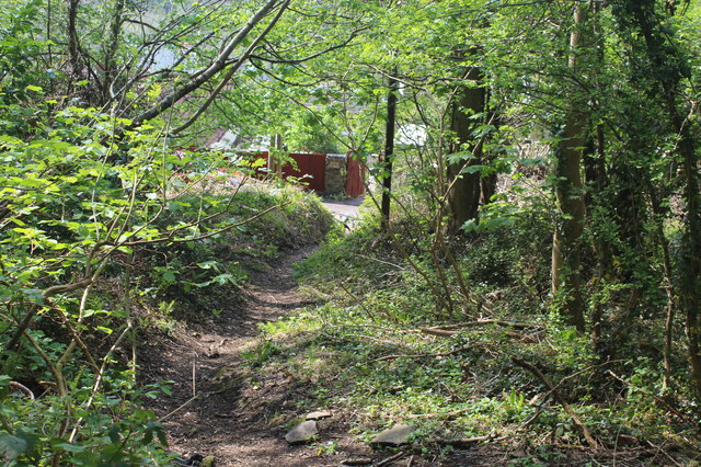
Image: © M J Roscoe Taken: 25 Apr 2020
The house sign on the wall on the other side of the road says, '3 Rhiw Cottages'. The path veers to its right and continues uphill from the camera to become path Image The wood is part of the Penmaen Woodlands SINC.
Images are licensed for reuse under creativecommons.org/licenses/by-sa/2.0
Image Location
Latitude
51.679021
Longitude
-3.183904