Lower Court Laine South
Introduction
The photograph on this page of Lower Court Laine South by Simon Carey as part of the Geograph project.
The Geograph project started in 2005 with the aim of publishing, organising and preserving representative images for every square kilometre of Great Britain, Ireland and the Isle of Man.

There are currently over 7.5m images from over 14,400 individuals and you can help contribute to the project by visiting https://www.geograph.org.uk
Lower Court Laine South
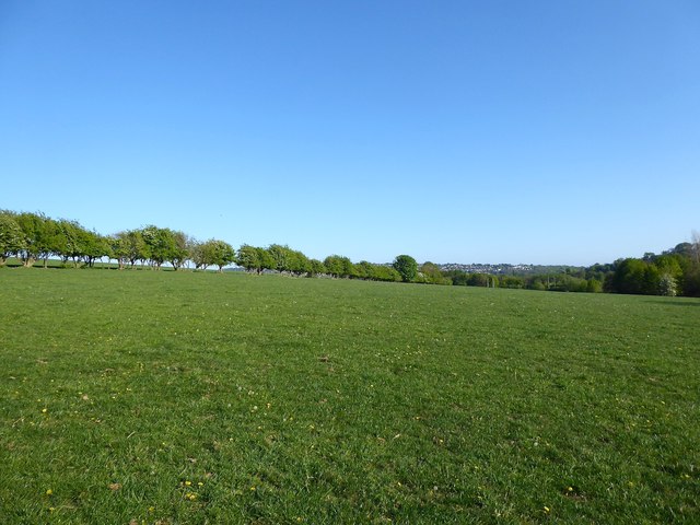
Image: © Simon Carey Taken: 25 Apr 2020
The name of the field according to Patcham's 1842 tithe map. This is the remaining eastern portion with much of the rest lost to housing and the A23. Much of the Brighton Council area north of Patcham became open access land about five years ago.
Images are licensed for reuse under creativecommons.org/licenses/by-sa/2.0
Image Location
Latitude
50.870979
Longitude
-0.156809