Rooley Moor Road at Lanehead
Introduction
The photograph on this page of Rooley Moor Road at Lanehead by Dr Neil Clifton as part of the Geograph project.
The Geograph project started in 2005 with the aim of publishing, organising and preserving representative images for every square kilometre of Great Britain, Ireland and the Isle of Man.

There are currently over 7.5m images from over 14,400 individuals and you can help contribute to the project by visiting https://www.geograph.org.uk
Rooley Moor Road at Lanehead
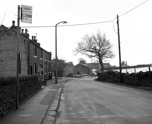
Image: © Dr Neil Clifton Taken: 15 Feb 1986
Looking downhill towards Rochdale.
Images are licensed for reuse under creativecommons.org/licenses/by-sa/2.0
Image Location


Leaflet Map data © OpenStreetMap
Latitude
53.639007
Longitude
-2.194768