Macandrew's Field
Introduction
The photograph on this page of Macandrew's Field by jeff collins as part of the Geograph project.
The Geograph project started in 2005 with the aim of publishing, organising and preserving representative images for every square kilometre of Great Britain, Ireland and the Isle of Man.

There are currently over 7.5m images from over 14,400 individuals and you can help contribute to the project by visiting https://www.geograph.org.uk
Macandrew's Field
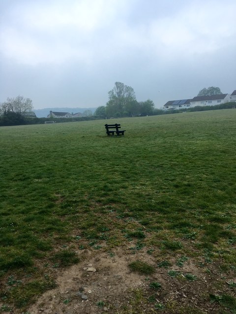
Image: © jeff collins Taken: 25 Apr 2020
Just off Exeter Rd. At one stage this was going to be the site for a new doctors surgery/medical practice. But due to public outcry the scheme was abandoned.
Images are licensed for reuse under creativecommons.org/licenses/by-sa/2.0
Image Location
Latitude
50.391068
Longitude
-3.909949