View SE along the B2135
Introduction
The photograph on this page of View SE along the B2135 by Ian Hawfinch as part of the Geograph project.
The Geograph project started in 2005 with the aim of publishing, organising and preserving representative images for every square kilometre of Great Britain, Ireland and the Isle of Man.

There are currently over 7.5m images from over 14,400 individuals and you can help contribute to the project by visiting https://www.geograph.org.uk
View SE along the B2135
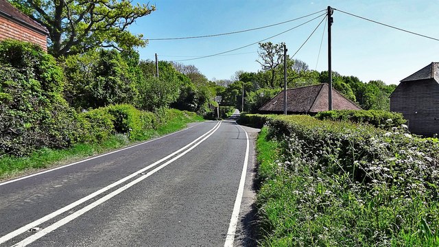
Image: © Ian Hawfinch Taken: 25 Apr 2020
You can see the railway bridge that carries the Downs Link path over the road. (The Downs Link is a disused railway track.)
Images are licensed for reuse under creativecommons.org/licenses/by-sa/2.0
Image Location
Latitude
50.973208
Longitude
-0.316