Muscliff: Cheddington Road
Introduction
The photograph on this page of Muscliff: Cheddington Road by Chris Downer as part of the Geograph project.
The Geograph project started in 2005 with the aim of publishing, organising and preserving representative images for every square kilometre of Great Britain, Ireland and the Isle of Man.

There are currently over 7.5m images from over 14,400 individuals and you can help contribute to the project by visiting https://www.geograph.org.uk
Muscliff: Cheddington Road
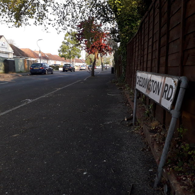
Image: © Chris Downer Taken: 12 Apr 2020
Looking northeast along this suburban road of bungalows which abound in this immediate area. The sign is the standard Bournemouth nameplate from the 1980s, affixed with tubular steel which protrudes at each side. This is photo no.68 of a series of 453 in my coronavirus lockdown walking project: See https://www.geograph.org.uk/article/My-2020-Coronavirus-Lockdown-walking-project for the complete set of photos.
Images are licensed for reuse under creativecommons.org/licenses/by-sa/2.0
Image Location
Latitude
50.760006
Longitude
-1.865685