Moordown: Carey Road
Introduction
The photograph on this page of Moordown: Carey Road by Chris Downer as part of the Geograph project.
The Geograph project started in 2005 with the aim of publishing, organising and preserving representative images for every square kilometre of Great Britain, Ireland and the Isle of Man.

There are currently over 7.5m images from over 14,400 individuals and you can help contribute to the project by visiting https://www.geograph.org.uk
Moordown: Carey Road
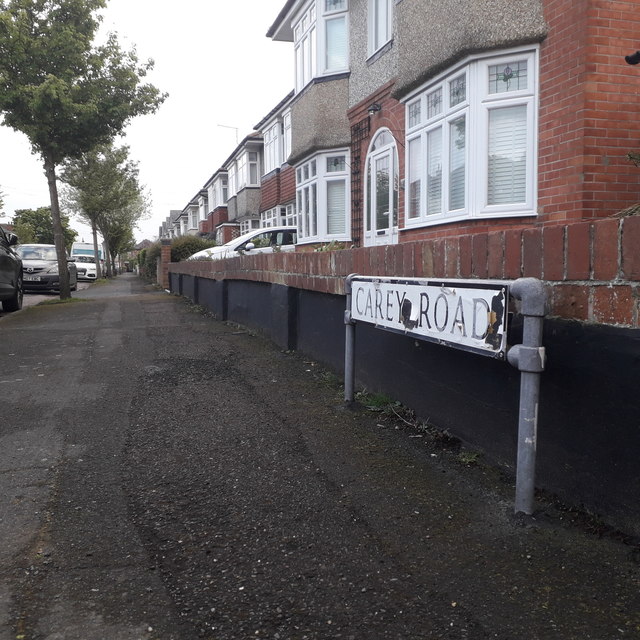
Image: © Chris Downer Taken: 17 Apr 2020
Carey Road is one of the criss-cross roads of Moordown, with The Grove running up the west side, The Avenue up the middle, and the main Wimborne Road forming the east side. Carey Road forms an exception, running parallel between The Grove and The Avenue for one segment, while all the others run east-west to form many squares. All the roads have in common these desirable suburban detached houses. The sign is of a simple design which was produced in great numbers, I believe at the back end of the 1980s, and quite a few remain. This is photo no.59 of a series of 453 in my coronavirus lockdown walking project: See https://www.geograph.org.uk/article/My-2020-Coronavirus-Lockdown-walking-project for the complete set of photos.
Images are licensed for reuse under creativecommons.org/licenses/by-sa/2.0
Image Location
Latitude
50.755253
Longitude
-1.877606