Allotments on Earsdon Road near Shiremoor
Introduction
The photograph on this page of Allotments on Earsdon Road near Shiremoor by Geoff Holland as part of the Geograph project.
The Geograph project started in 2005 with the aim of publishing, organising and preserving representative images for every square kilometre of Great Britain, Ireland and the Isle of Man.

There are currently over 7.5m images from over 14,400 individuals and you can help contribute to the project by visiting https://www.geograph.org.uk
Allotments on Earsdon Road near Shiremoor
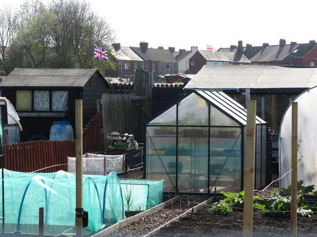
Image: © Geoff Holland Taken: 22 Apr 2020
When the first Ordnance Survey Six-Inch map of the area was published in 1865, the area now occupied by these allotments was farm land and the name 'Shiremoor' did not feature anywhere on the map. The only immediately surrounding property at that time was the Grey Horse Inn (Pub) and Bertram Place. Whilst the history of allotments goes back many centuries, it was not until the Small Holdings and Allotments Act 1908 came into force that local authorities were legally obliged to provide "sufficient allotments according to demand". This duty was further extended with the passing of the Land Settlement Facilities Act 1919 with the rights of allotment holders being strengthened by the Allotments Act 1922. However, the most important change was introduced when the Allotments Act 1925 established statutory allotments which local authorities could not sell off or covert to other uses without Ministerial consent. For a selection of detailed free to download walking routes in the area visit www.northtynesidewalks.co.uk
Images are licensed for reuse under creativecommons.org/licenses/by-sa/2.0
Image Location
Latitude
55.041044
Longitude
-1.502668