Ledwyche Brook valley
Introduction
The photograph on this page of Ledwyche Brook valley by Derek Harper as part of the Geograph project.
The Geograph project started in 2005 with the aim of publishing, organising and preserving representative images for every square kilometre of Great Britain, Ireland and the Isle of Man.

There are currently over 7.5m images from over 14,400 individuals and you can help contribute to the project by visiting https://www.geograph.org.uk
Ledwyche Brook valley
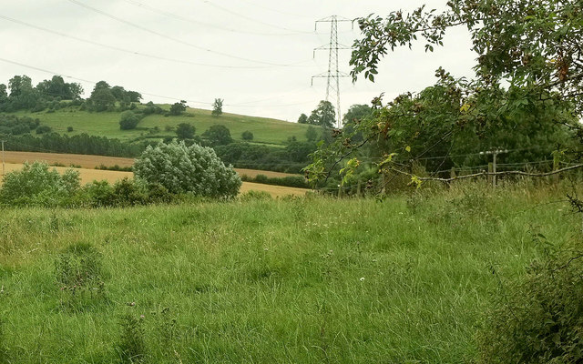
Image: © Derek Harper Taken: 28 Jul 2019
Looking right from Image], up the valley, with zoom and overlap. Caynham Camp, a hillfort described at https://historicengland.org.uk/listing/the-list/list-entry/1010313 and seen in images at https://www.geograph.org.uk/search.php?i=113525009 , can be seen on the left horizon.
Images are licensed for reuse under creativecommons.org/licenses/by-sa/2.0
Image Location
Latitude
52.364759
Longitude
-2.685785