The Craigmaddie Burn
Introduction
The photograph on this page of The Craigmaddie Burn by Richard Sutcliffe as part of the Geograph project.
The Geograph project started in 2005 with the aim of publishing, organising and preserving representative images for every square kilometre of Great Britain, Ireland and the Isle of Man.

There are currently over 7.5m images from over 14,400 individuals and you can help contribute to the project by visiting https://www.geograph.org.uk
The Craigmaddie Burn
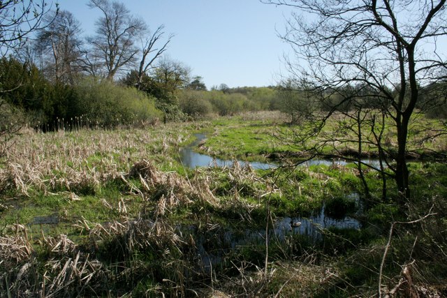
Image: © Richard Sutcliffe Taken: 21 Apr 2020
The burn threads its way through a very much silted-up southeastern end of Dougalston Loch before cascading down a weir Image just out of view to the right. The loch and part of Dougalston Estate are designated as a Local Nature Conservation Site by East Dunbartonshire Council.
Images are licensed for reuse under creativecommons.org/licenses/by-sa/2.0
Image Location
Latitude
55.934453
Longitude
-4.30208