Northbourne: Bridge Place
Introduction
The photograph on this page of Northbourne: Bridge Place by Chris Downer as part of the Geograph project.
The Geograph project started in 2005 with the aim of publishing, organising and preserving representative images for every square kilometre of Great Britain, Ireland and the Isle of Man.

There are currently over 7.5m images from over 14,400 individuals and you can help contribute to the project by visiting https://www.geograph.org.uk
Northbourne: Bridge Place
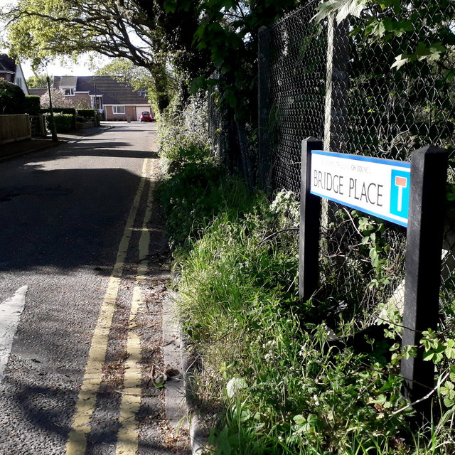
Image: © Chris Downer Taken: 15 Apr 2020
A small cul-de-sac off the main A347 New Road, with housing only on one side and at the end because it directly abuts the River Stour, just to our right. The sign is a modern one, erected around 2018, by which time the council had replaced the coloured logo, which had been prone to fading after a while, to simple wording BOURNEMOUTH BOROUGH COUNCIL in smaller type. This is photo no.48 of a series of 453 in my coronavirus lockdown walking project: See https://www.geograph.org.uk/article/My-2020-Coronavirus-Lockdown-walking-project for the complete set of photos.
Images are licensed for reuse under creativecommons.org/licenses/by-sa/2.0
Image Location
Latitude
50.773339
Longitude
-1.887912