A view towards Laleston from the west
Introduction
The photograph on this page of A view towards Laleston from the west by eswales as part of the Geograph project.
The Geograph project started in 2005 with the aim of publishing, organising and preserving representative images for every square kilometre of Great Britain, Ireland and the Isle of Man.

There are currently over 7.5m images from over 14,400 individuals and you can help contribute to the project by visiting https://www.geograph.org.uk
A view towards Laleston from the west
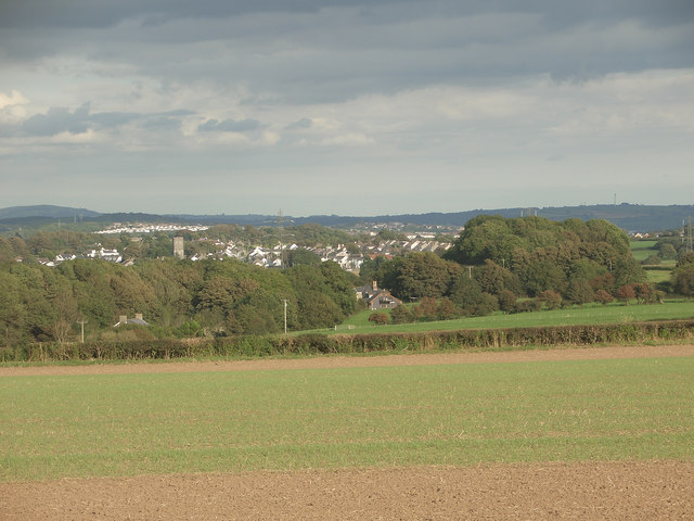
Image: © eswales Taken: 23 Sep 2016
A view from a public footpath on high ground a little to the south of Ty-erfin. The tower of St David’s Church, visible in the left half of the image, is about 1.9 kilometres (c. 1.2 miles) from the camera. The tall structure on high ground seen in the distance close to the right hand edge of the image is a wind turbine at St Mary Hill, about 11.1 kilometres (c. 6.9 miles) from the spot where the picture was taken.
Images are licensed for reuse under creativecommons.org/licenses/by-sa/2.0
Image Location
Latitude
51.504398
Longitude
-3.644825