Moordown: Barrie Road
Introduction
The photograph on this page of Moordown: Barrie Road by Chris Downer as part of the Geograph project.
The Geograph project started in 2005 with the aim of publishing, organising and preserving representative images for every square kilometre of Great Britain, Ireland and the Isle of Man.

There are currently over 7.5m images from over 14,400 individuals and you can help contribute to the project by visiting https://www.geograph.org.uk
Moordown: Barrie Road
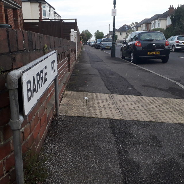
Image: © Chris Downer Taken: 17 Apr 2020
One of a series of short roads running west-east from The Grove, over The Avenue to Wimborne Road, in a large-ish area of desirable detached houses. This one of only a couple that does both segments. The sign is a typical 70s/80s Bournemouth nameplate mounted on tubular steel which protrudes at each end. This is photo no.30 of a series of 451 in my coronavirus lockdown walking project: See https://www.geograph.org.uk/article/My-2020-Coronavirus-Lockdown-walking-project for the complete set of photos.
Images are licensed for reuse under creativecommons.org/licenses/by-sa/2.0
Image Location


Leaflet Map data © OpenStreetMap
Latitude
50.756332
Longitude
-1.87732