Approaching a farm track bend, Laigh Netherfield
Introduction
The photograph on this page of Approaching a farm track bend, Laigh Netherfield by Alan O'Dowd as part of the Geograph project.
The Geograph project started in 2005 with the aim of publishing, organising and preserving representative images for every square kilometre of Great Britain, Ireland and the Isle of Man.

There are currently over 7.5m images from over 14,400 individuals and you can help contribute to the project by visiting https://www.geograph.org.uk
Approaching a farm track bend, Laigh Netherfield
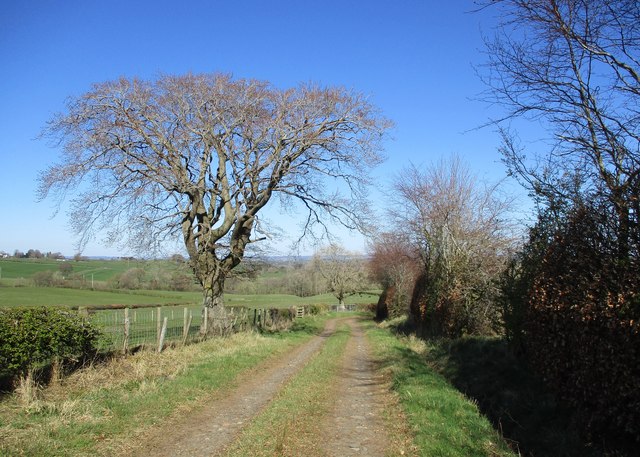
Image: © Alan O'Dowd Taken: 19 Apr 2020
Bright spring sunshine on an April afternoon. This track once ran all the way to Glasford (or Glassford) Mill House, but beyond the right-angled turn to Laigh Netherfield it now turns into a grassy track with many farm gates and it appears that the bridge over the Hole Burn may be gone, so I turned back at the end of the gravel track.
Images are licensed for reuse under creativecommons.org/licenses/by-sa/2.0
Image Location


Leaflet Map data © OpenStreetMap
Latitude
55.688569
Longitude
-4.031295