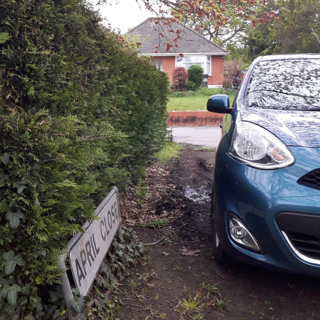
West Howe: April Close
Introduction
The photograph on this page of West Howe: April Close by Chris Downer as part of the Geograph project.
The Geograph project started in 2005 with the aim of publishing, organising and preserving representative images for every square kilometre of Great Britain, Ireland and the Isle of Man.
There are currently over 7.5m images from over 14,400 individuals and you can help contribute to the project by visiting https://www.geograph.org.uk

Image: © Chris Downer Taken: 18 Apr 2020
The parked car made a good-perspective photograph difficult, but it can be seen in the background that April Close turns to the left, more or less parallel with the main Poole Lane where we stand. The houses take a direct line from one road to the other, and it is my strong suspicion that April Close is in fact the original line of Poole Lane. Historical maps suggest that the current line of Poole Lane has been extant since the 1940s. This is photo no.13 of a series of 451 in my coronavirus lockdown walking project: See https://www.geograph.org.uk/article/My-2020-Coronavirus-Lockdown-walking-project for the complete set of photos.

