East Howe: Aldridge Road
Introduction
The photograph on this page of East Howe: Aldridge Road by Chris Downer as part of the Geograph project.
The Geograph project started in 2005 with the aim of publishing, organising and preserving representative images for every square kilometre of Great Britain, Ireland and the Isle of Man.

There are currently over 7.5m images from over 14,400 individuals and you can help contribute to the project by visiting https://www.geograph.org.uk
East Howe: Aldridge Road
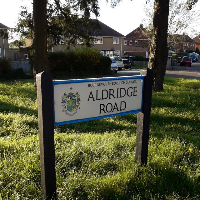
Image: © Chris Downer Taken: 16 Apr 2020
This sign stands on the grass triangle at the junction of Long Road – the other end of Alrdidge Road also comes out on Long Road, further north. The council houses string along in a straight line, ignoring the bends in the road: hence the grass triangle. The sign is a Bournemouth Borough one which includes the coat of arms. This is photo no.7 of a series of 451 in my coronavirus lockdown walking project: See https://www.geograph.org.uk/article/My-2020-Coronavirus-Lockdown-walking-project for the complete set of photos.
Images are licensed for reuse under creativecommons.org/licenses/by-sa/2.0
Image Location
Latitude
50.762827
Longitude
-1.898287