Northbourne: Abney Road
Introduction
The photograph on this page of Northbourne: Abney Road by Chris Downer as part of the Geograph project.
The Geograph project started in 2005 with the aim of publishing, organising and preserving representative images for every square kilometre of Great Britain, Ireland and the Isle of Man.

There are currently over 7.5m images from over 14,400 individuals and you can help contribute to the project by visiting https://www.geograph.org.uk
Northbourne: Abney Road
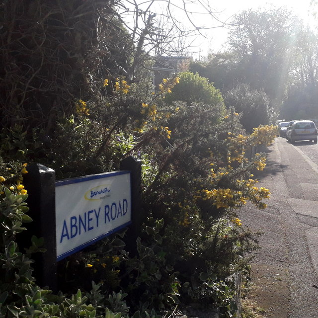
Image: © Chris Downer Taken: 11 Apr 2020
Looking up Abney Road from the Howeth Road end, it looks deceptively rural thanks to a patch of gorse and bramble on the corner where the sign is situated. The sign is a Bournemouth Borough one with the emblem introduced in around 2013. This is photo no.2 of a series of 451 in my coronavirus lockdown walking project: See https://www.geograph.org.uk/article/My-2020-Coronavirus-Lockdown-walking-project for the complete set of photos.
Images are licensed for reuse under creativecommons.org/licenses/by-sa/2.0
Image Location
Latitude
50.758684
Longitude
-1.891775