Path, Wellington
Introduction
The photograph on this page of Path, Wellington by Derek Harper as part of the Geograph project.
The Geograph project started in 2005 with the aim of publishing, organising and preserving representative images for every square kilometre of Great Britain, Ireland and the Isle of Man.

There are currently over 7.5m images from over 14,400 individuals and you can help contribute to the project by visiting https://www.geograph.org.uk
Path, Wellington
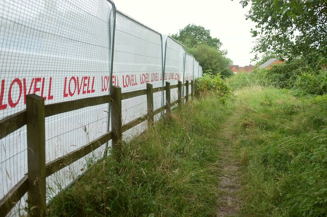
Image: © Derek Harper Taken: 26 Jul 2019
Linking the A4223 Whitchurch Drive to St Paul's Drive, where the houses ahead are. It was getting rather dark, and it turned out to be a little awkward, at least at the main road (behind the camera), as a building site (left, where 54 new houses are being built) was sort of in the way.
Images are licensed for reuse under creativecommons.org/licenses/by-sa/2.0
Image Location
Latitude
52.711467
Longitude
-2.516101