Near Chetton Grange
Introduction
The photograph on this page of Near Chetton Grange by Derek Harper as part of the Geograph project.
The Geograph project started in 2005 with the aim of publishing, organising and preserving representative images for every square kilometre of Great Britain, Ireland and the Isle of Man.

There are currently over 7.5m images from over 14,400 individuals and you can help contribute to the project by visiting https://www.geograph.org.uk
Near Chetton Grange
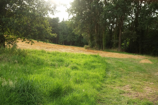
Image: © Derek Harper Taken: 26 Jul 2019
Unnamed woods are on two sides of this field by the B4364, really an arm of the field shown in Image
Images are licensed for reuse under creativecommons.org/licenses/by-sa/2.0
Image Location
Latitude
52.505302
Longitude
-2.479944