Hadrian's Wall Path passing Blea Tarn
Introduction
The photograph on this page of Hadrian's Wall Path passing Blea Tarn by habiloid as part of the Geograph project.
The Geograph project started in 2005 with the aim of publishing, organising and preserving representative images for every square kilometre of Great Britain, Ireland and the Isle of Man.

There are currently over 7.5m images from over 14,400 individuals and you can help contribute to the project by visiting https://www.geograph.org.uk
Hadrian's Wall Path passing Blea Tarn
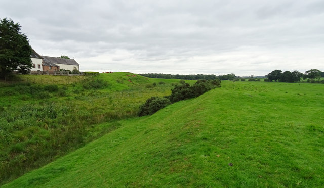
Image: © habiloid Taken: 2 Aug 2016
The tarn (on the left, without much visible water) has formed in the vallum of the wall.
Images are licensed for reuse under creativecommons.org/licenses/by-sa/2.0
Image Location
Latitude
54.942589
Longitude
-2.834955