Cricket Pavilion
Introduction
The photograph on this page of Cricket Pavilion by Chris Thomas-Atkin as part of the Geograph project.
The Geograph project started in 2005 with the aim of publishing, organising and preserving representative images for every square kilometre of Great Britain, Ireland and the Isle of Man.

There are currently over 7.5m images from over 14,400 individuals and you can help contribute to the project by visiting https://www.geograph.org.uk
Cricket Pavilion
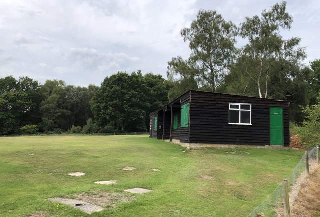
Image: © Chris Thomas-Atkin Taken: 4 Aug 2019
The cricket field just off Sandy Lane at Coleman’s Hatch. On the Vanguard Way which passes behind the pavilion.
Images are licensed for reuse under creativecommons.org/licenses/by-sa/2.0
Image Location
Latitude
51.07644
Longitude
0.065769