Stableford Road, Ackleton
Introduction
The photograph on this page of Stableford Road, Ackleton by Derek Harper as part of the Geograph project.
The Geograph project started in 2005 with the aim of publishing, organising and preserving representative images for every square kilometre of Great Britain, Ireland and the Isle of Man.

There are currently over 7.5m images from over 14,400 individuals and you can help contribute to the project by visiting https://www.geograph.org.uk
Stableford Road, Ackleton
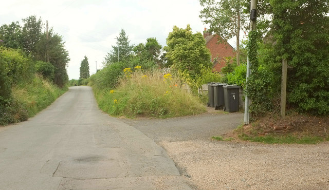
Image: © Derek Harper Taken: 26 Jul 2019
On the right is the start of bridleway 0151 96/1. Beyond is a bank with rather a lot of ragwort.
Images are licensed for reuse under creativecommons.org/licenses/by-sa/2.0
Image Location
Latitude
52.586871
Longitude
-2.341501