Brook House (former barn) at Forget Me Not Farm
Introduction
The photograph on this page of Brook House (former barn) at Forget Me Not Farm by Richard Law as part of the Geograph project.
The Geograph project started in 2005 with the aim of publishing, organising and preserving representative images for every square kilometre of Great Britain, Ireland and the Isle of Man.

There are currently over 7.5m images from over 14,400 individuals and you can help contribute to the project by visiting https://www.geograph.org.uk
Brook House (former barn) at Forget Me Not Farm
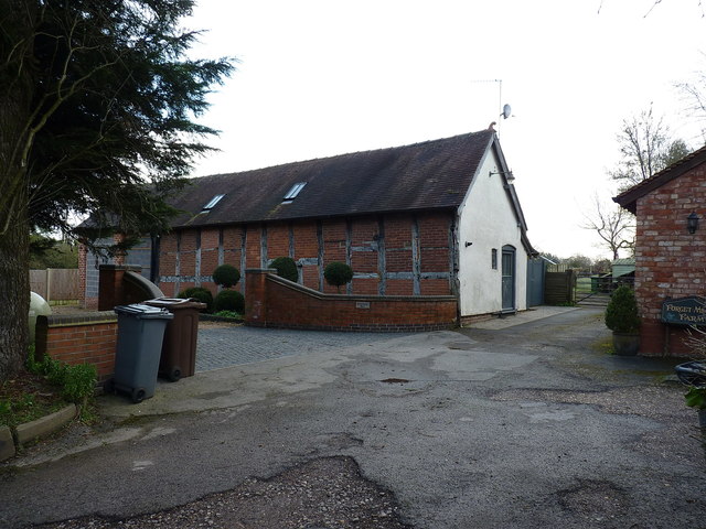
Image: © Richard Law Taken: 4 Mar 2020
Now converted to a dwelling, this 16th or 17th century former barn was Grade II listed https://britishlistedbuildings.co.uk/101076731-brook-house-cheswick-green & https://historicengland.org.uk/listing/the-list/list-entry/1076731 in 1972.
Images are licensed for reuse under creativecommons.org/licenses/by-sa/2.0
Image Location
Latitude
52.377222
Longitude
-1.819858