The site of Beauchief railway station
Introduction
The photograph on this page of The site of Beauchief railway station by Graham Hogg as part of the Geograph project.
The Geograph project started in 2005 with the aim of publishing, organising and preserving representative images for every square kilometre of Great Britain, Ireland and the Isle of Man.

There are currently over 7.5m images from over 14,400 individuals and you can help contribute to the project by visiting https://www.geograph.org.uk
The site of Beauchief railway station
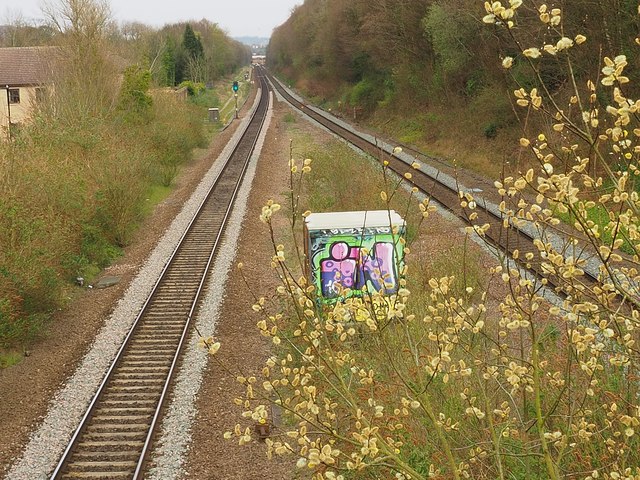
Image: © Graham Hogg Taken: 9 Apr 2020
The station was built by the Midland Railway in 1870. The station was originally called Abbey Houses and later Beauchief & Abbey Dale station and finally Beauchief in 1914. It closed in 1961 shortly before this photograph was taken by Ben Brooksbank Image
Images are licensed for reuse under creativecommons.org/licenses/by-sa/2.0
Image Location
Latitude
53.335961
Longitude
-1.507544