Saxelby Top Farm
Introduction
The photograph on this page of Saxelby Top Farm by Tim Heaton as part of the Geograph project.
The Geograph project started in 2005 with the aim of publishing, organising and preserving representative images for every square kilometre of Great Britain, Ireland and the Isle of Man.

There are currently over 7.5m images from over 14,400 individuals and you can help contribute to the project by visiting https://www.geograph.org.uk
Saxelby Top Farm
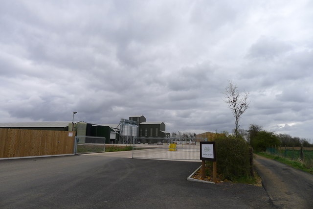
Image: © Tim Heaton Taken: 3 Apr 2020
A brand new arable and livestock farm on a site previously used by the short-lived Asfordby coal mine. Uses high-tech methods for finishing beef cattle https://www.fwi.co.uk/livestock/housing/how-three-huge-roundhouses-are-improving-beef-performance
Images are licensed for reuse under creativecommons.org/licenses/by-sa/2.0
Image Location
Latitude
52.784006
Longitude
-0.950819