Hillreach
Introduction
The photograph on this page of Hillreach by Derek Harper as part of the Geograph project.
The Geograph project started in 2005 with the aim of publishing, organising and preserving representative images for every square kilometre of Great Britain, Ireland and the Isle of Man.

There are currently over 7.5m images from over 14,400 individuals and you can help contribute to the project by visiting https://www.geograph.org.uk
Hillreach
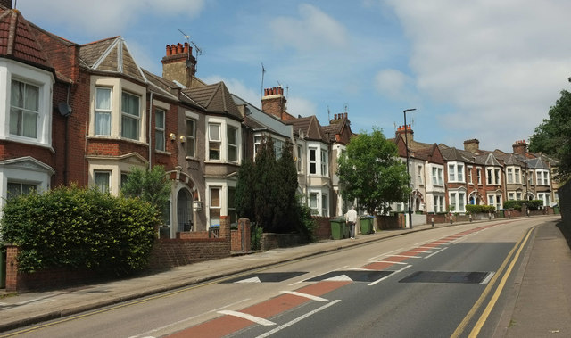
Image: © Derek Harper Taken: 26 Jun 2019
A terrace of 16 houses on the B210 as it curves around the grounds of the Royal Artillery Museum and the Royal Military Repository on the right.
Images are licensed for reuse under creativecommons.org/licenses/by-sa/2.0
Image Location
Latitude
51.48701
Longitude
0.053449