Frances Street / Artillery Place, Woolwich
Introduction
The photograph on this page of Frances Street / Artillery Place, Woolwich by Derek Harper as part of the Geograph project.
The Geograph project started in 2005 with the aim of publishing, organising and preserving representative images for every square kilometre of Great Britain, Ireland and the Isle of Man.

There are currently over 7.5m images from over 14,400 individuals and you can help contribute to the project by visiting https://www.geograph.org.uk
Frances Street / Artillery Place, Woolwich
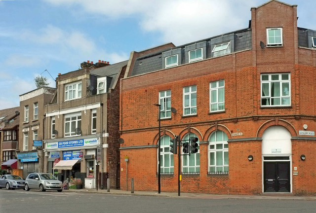
Image: © Derek Harper Taken: 26 Jun 2019
A similar view to Image, with the B210 (Artillery Place, to the right) crossing Frances Street at traffic lights. The building on the corner is described at http://edithsstreets.blogspot.com/2015/01/railway-from-london-bridge-to-gravesend.html : "built in 1903–4 as a military tailors shop ... In 1945 it became the Woolwich office of the Assistance Board. In 2011 another storey was added to turn it into flats".
Images are licensed for reuse under creativecommons.org/licenses/by-sa/2.0
Image Location
Latitude
51.487406
Longitude
0.056491