Baptist Chapel, Stoke Rivers
Introduction
The photograph on this page of Baptist Chapel, Stoke Rivers by Derek Harper as part of the Geograph project.
The Geograph project started in 2005 with the aim of publishing, organising and preserving representative images for every square kilometre of Great Britain, Ireland and the Isle of Man.

There are currently over 7.5m images from over 14,400 individuals and you can help contribute to the project by visiting https://www.geograph.org.uk
Baptist Chapel, Stoke Rivers
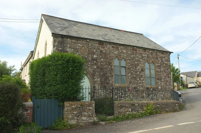
Image: © Derek Harper Taken: 22 Jun 2019
The chapel, also shown at http://www.geograph.org.uk/search.php?i=113007632 , is listed https://historicengland.org.uk/listing/the-list/list-entry/1107660 . A "quatrefoil stone inset" Image] over the door gives the date 1856.
Images are licensed for reuse under creativecommons.org/licenses/by-sa/2.0
Image Location


Leaflet Map data © OpenStreetMap
Latitude
51.101469
Longitude
-3.953799