Former Sunday School, High Street, Heckmondwike
Introduction
The photograph on this page of Former Sunday School, High Street, Heckmondwike by habiloid as part of the Geograph project.
The Geograph project started in 2005 with the aim of publishing, organising and preserving representative images for every square kilometre of Great Britain, Ireland and the Isle of Man.

There are currently over 7.5m images from over 14,400 individuals and you can help contribute to the project by visiting https://www.geograph.org.uk
Former Sunday School, High Street, Heckmondwike
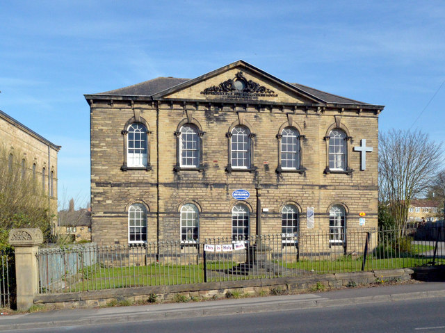
Image: © habiloid Taken: 7 Apr 2020
Just visible on the left is a wall of the former Upper Independent Chapel that was associated with this Sunday School.
Images are licensed for reuse under creativecommons.org/licenses/by-sa/2.0
Image Location
Latitude
53.709253
Longitude
-1.664091