Steps to Nowhere
Introduction
The photograph on this page of Steps to Nowhere by Sean Davis as part of the Geograph project.
The Geograph project started in 2005 with the aim of publishing, organising and preserving representative images for every square kilometre of Great Britain, Ireland and the Isle of Man.

There are currently over 7.5m images from over 14,400 individuals and you can help contribute to the project by visiting https://www.geograph.org.uk
Steps to Nowhere
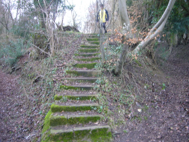
Image: © Sean Davis Taken: 13 Mar 2011
These steps appear on a bridleway from West Wycombe to Downley Village. There is no evidence of anything at the top. The bridleway veers left from here and, as you can just see, to the right is a sunken track. This is possibly an old river bed and is a public footpath, it is also on the route of the London Green Belt Way.
Images are licensed for reuse under creativecommons.org/licenses/by-sa/2.0
Image Location
Latitude
51.647679
Longitude
-0.783328