Thames Path at Mill Lane, Cookham
Introduction
The photograph on this page of Thames Path at Mill Lane, Cookham by Sean Davis as part of the Geograph project.
The Geograph project started in 2005 with the aim of publishing, organising and preserving representative images for every square kilometre of Great Britain, Ireland and the Isle of Man.

There are currently over 7.5m images from over 14,400 individuals and you can help contribute to the project by visiting https://www.geograph.org.uk
Thames Path at Mill Lane, Cookham
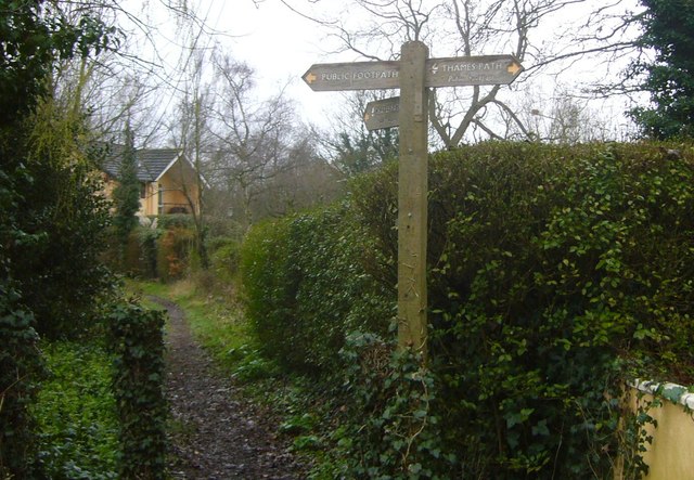
Image: © Sean Davis Taken: 13 Mar 2011
This is next to The Sol Mill and is where the Thames Path National Trail diverts from Mill Lane. It is also on the route of the London Green Belt Way.
Images are licensed for reuse under creativecommons.org/licenses/by-sa/2.0
Image Location
Latitude
51.556991
Longitude
-0.70057