Eaglesfield Park
Introduction
The photograph on this page of Eaglesfield Park by Marathon as part of the Geograph project.
The Geograph project started in 2005 with the aim of publishing, organising and preserving representative images for every square kilometre of Great Britain, Ireland and the Isle of Man.

There are currently over 7.5m images from over 14,400 individuals and you can help contribute to the project by visiting https://www.geograph.org.uk
Eaglesfield Park
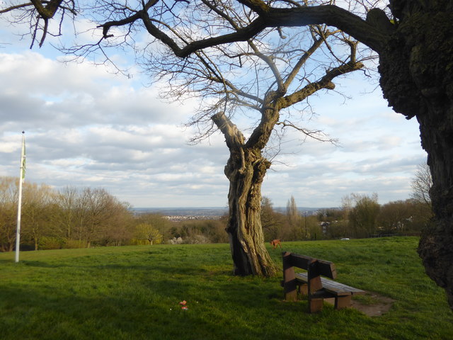
Image: © Marathon Taken: 3 Apr 2020
The land now forming Eaglesfield Park has a long history. Excavations carried out in 2007 found the remains of an early Iron Age foundry, indicating that there was early human settlement here. The southern edge of the park was part of an extensive pleasure garden in the 18th century. The name for Eaglesfield is thought to have derived from the coat of arms of John Lidgbird who was High Sheriff of Kent in 1741 and owned the site. His coat of arms displayed two eagles. Land for the modern-day park was purchased by Woolwich Metropolitan Council in 1907 and the park was opened in 1908. An anti-Zeppelin gun was located here during the First World War and a barrage balloon in the Second World War which was used to defend against low-level aircraft attacks. Eaglesfield Park is at the top of Shooters Hill, which is the second highest point in London. There are extensive views across Kent and Essex and towards the Thames Estuary. The Green Chain Walk passes through the park. There is a Friends of Eaglesfield Park - see https://eaglesfieldpark.org/ For a more detailed description see http://londongardensonline.org.uk/gardens-online-record.php?ID=GRN016
Images are licensed for reuse under creativecommons.org/licenses/by-sa/2.0
Image Location
Latitude
51.470604
Longitude
0.070999