East Hall Lane and Wennington Quarry
Introduction
The photograph on this page of East Hall Lane and Wennington Quarry by Glyn Baker as part of the Geograph project.
The Geograph project started in 2005 with the aim of publishing, organising and preserving representative images for every square kilometre of Great Britain, Ireland and the Isle of Man.

There are currently over 7.5m images from over 14,400 individuals and you can help contribute to the project by visiting https://www.geograph.org.uk
East Hall Lane and Wennington Quarry
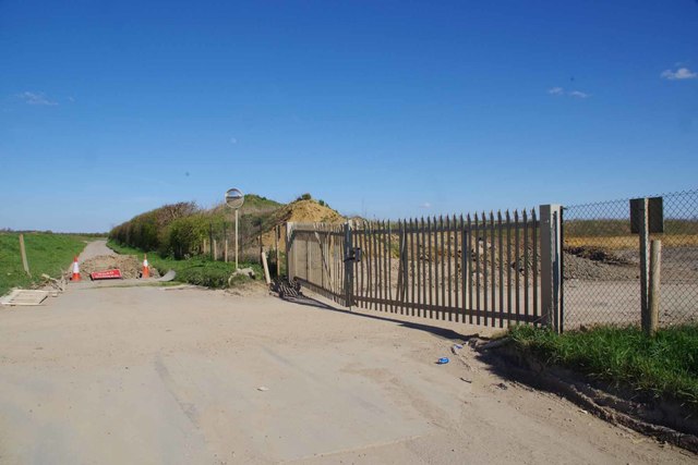
Image: © Glyn Baker Taken: 4 Apr 2020
The lane is now blocked off at both ends see Image N.B note the lack of jet traces due to CV-19.
Images are licensed for reuse under creativecommons.org/licenses/by-sa/2.0
Image Location
Latitude
51.509818
Longitude
0.213433