St Peter's Way from Blackmore
Introduction
The photograph on this page of St Peter's Way from Blackmore by Sean Davis as part of the Geograph project.
The Geograph project started in 2005 with the aim of publishing, organising and preserving representative images for every square kilometre of Great Britain, Ireland and the Isle of Man.

There are currently over 7.5m images from over 14,400 individuals and you can help contribute to the project by visiting https://www.geograph.org.uk
St Peter's Way from Blackmore
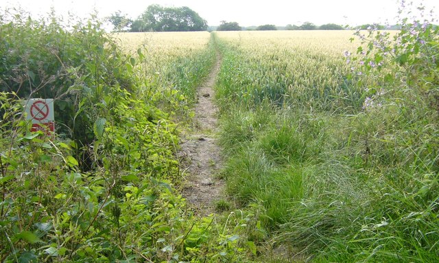
Image: © Sean Davis Taken: 7 Jul 2007
This public footpath across the field takes St Peter's Way east out of Blackmore. It is also on the route of the London Green Belt Way.
Images are licensed for reuse under creativecommons.org/licenses/by-sa/2.0
Image Location
Latitude
51.692112
Longitude
0.321955