Kennington Park Lake
Introduction
The photograph on this page of Kennington Park Lake by Glyn Baker as part of the Geograph project.
The Geograph project started in 2005 with the aim of publishing, organising and preserving representative images for every square kilometre of Great Britain, Ireland and the Isle of Man.

There are currently over 7.5m images from over 14,400 individuals and you can help contribute to the project by visiting https://www.geograph.org.uk
Kennington Park Lake
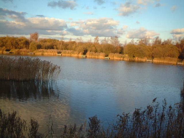
Image: © Glyn Baker Taken: 16 Nov 2003
You can see all the fish torturing platforms on the far bank. The Park was created in the 1990's from an old gravel pit. see http://www.thameschase.org.uk/visitor-centres/ockendon/kennington-park for info.
Images are licensed for reuse under creativecommons.org/licenses/by-sa/2.0
Image Location
Latitude
51.508271
Longitude
0.247512