Parkside Path
Introduction
The photograph on this page of Parkside Path by Gordon Griffiths as part of the Geograph project.
The Geograph project started in 2005 with the aim of publishing, organising and preserving representative images for every square kilometre of Great Britain, Ireland and the Isle of Man.

There are currently over 7.5m images from over 14,400 individuals and you can help contribute to the project by visiting https://www.geograph.org.uk
Parkside Path
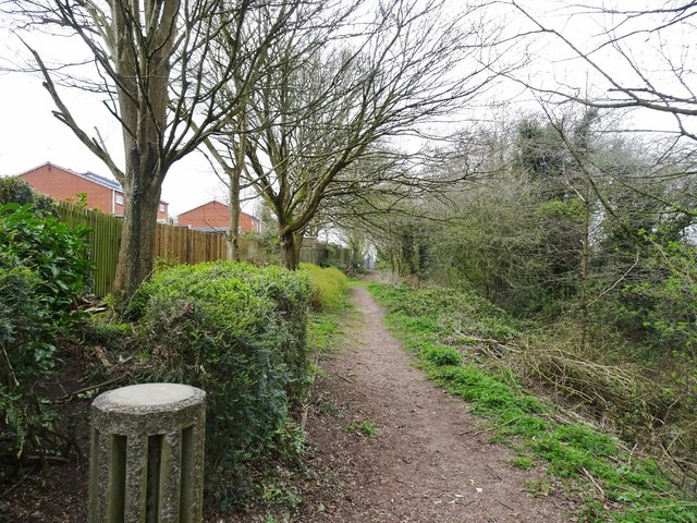
Image: © Gordon Griffiths Taken: 31 Mar 2020
The view of the footpath on the edge of Sedgley Hall Farm Park, at the back of Royston Way.
Images are licensed for reuse under creativecommons.org/licenses/by-sa/2.0
Image Location
Latitude
52.543785
Longitude
-2.127357