Dock Approach Road A1089
Introduction
The photograph on this page of Dock Approach Road A1089 by Glyn Baker as part of the Geograph project.
The Geograph project started in 2005 with the aim of publishing, organising and preserving representative images for every square kilometre of Great Britain, Ireland and the Isle of Man.

There are currently over 7.5m images from over 14,400 individuals and you can help contribute to the project by visiting https://www.geograph.org.uk
Dock Approach Road A1089
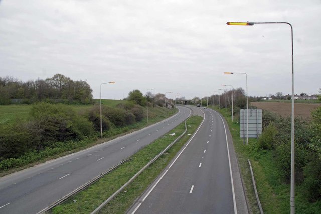
Image: © Glyn Baker Taken: 1 Apr 2020
I don't think the Dock Approach road has ever been this clear on a weekday before! I didn't have to wait long before things were Image
Images are licensed for reuse under creativecommons.org/licenses/by-sa/2.0
Image Location
Latitude
51.480472
Longitude
0.353445